4. Limits/Disclaimer
4.aLimits / Disclaimer, Pixel Counting
CropScape will allow for pixel counting at the state, district, and county levels. Please note that differences will occur when comparing acreage statistics between CropScape and NASS official numbers, as pixel counting is usually downwardly biased when compared to official estimates. Counting pixels and multiplying by the area of each pixel will result in biased area estimates and should be consider raw numbers needing bias correction. Official crop acreage estimates at the state and county level are available at http://www.nass.usda.gov/.
Here are a list of references discussing the subject matter of pixel counting and estimation:
1) Gallego F.J., 2004, Remote sensing and land cover area estimation. International Journal of Remote Sensing. Vol. 25, n. 15, pp. 3019-3047.
2) Best practices for crop area estimation with Remote Sensing - Section 4.1.1
3) Czaplewski, R. L. (1992). Misclassification bias in areal estimates. Photogrammetric Engineering & Remote Sensing, 58, 189-192.
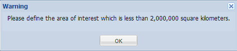
4.b Limits / Disclaimer, Limited to 2 million square kilometer display
CropScape allows users to analyze areas less than 2,000,000 square kilometers. If an Area of Interest is larger than the limit the following warning will appear.